Description
DJI Zenmuse L2 – Advanced Aerial LiDAR Solution with Enhanced Accuracy and Reliability
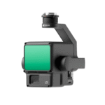
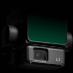
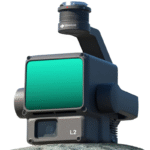
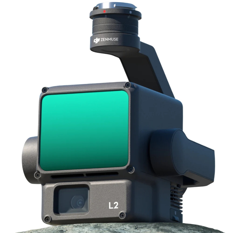
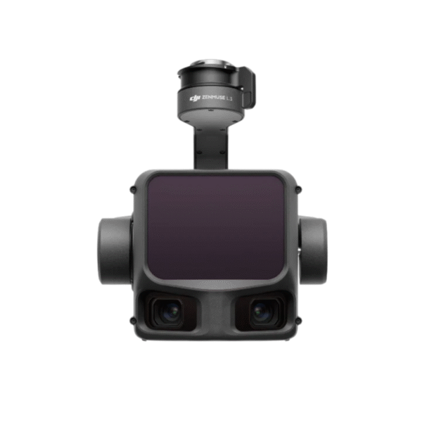
The DJI Zenmuse L2 is a next-generation integrated LiDAR system that combines a powerful 5-return laser module, an upgraded IMU, a high-precision GNSS system, and a professional-grade RGB camera—all built into a compact, rugged, and seamless payload. Designed to work hand-in-hand with DJI’s flagship enterprise drones such as the Matrice 350 RTK and Matrice 300 RTK, the L2 offers a substantial leap in point cloud density, mapping precision, and operational range compared to its predecessor, the Zenmuse L1. Whether you’re surveying dense forests, inspecting power lines, or modeling construction sites, the Zenmuse L2 turns complexity into clarity.
Key Features Of Zenmuse L2
1. Ultra-Dense Point Clouds with 5 Returns Per Pulse
The Zenmuse L2’s laser module can deliver up to 1.2 million points per second, with 5 returns per laser pulse, giving you incredible detail even in complex, multi-layered terrains. Whether it’s vegetation-rich landscapes, rooftops, or narrow corridors, the multiple return capability ensures that each physical surface is captured with precision, allowing for deeper analysis and cleaner 3D models.
2. Outstanding Survey-Grade Accuracy with Upgraded IMU and GNSS
Integrated with a new high-precision IMU and tightly coupled with DJI’s RTK GNSS positioning system, the Zenmuse L2 provides horizontal accuracy of 10 cm and vertical accuracy of 5 cm without the need for ground control points in many environments. The accuracy is further enhanced by improved time synchronization between the laser, camera, and positioning system, ensuring clean alignment of your point clouds and georeferenced images.
3. Professional 4/3 CMOS RGB Mapping Camera
The onboard RGB camera is built around a 4/3 CMOS sensor with a mechanical shutter and 20MP resolution, providing high-resolution imagery for colorizing point clouds and generating orthophotos. The mechanical shutter enables blur-free imaging during fast flights, and the larger sensor size ensures excellent low-light performance—ideal for overcast days or late-afternoon flights.
4. Extended Scanning Range with Greater Flexibility
With an effective detection range of up to 450 meters at 10% reflectivity and a vertical FOV of 70°, the Zenmuse L2 expands your reach without compromising on detail. The improved signal sensitivity means fewer passes are needed to scan large areas, reducing time in the field and increasing mission efficiency.
5. Real-Time 3D Point Cloud Preview
Through DJI Pilot 2 on the RC Plus, users can preview real-time 3D point cloud data as the drone is flying, allowing immediate verification of coverage and quality. You can visually inspect the terrain, spot missing sections, and even make adjustments mid-mission without needing to land or reprocess later.
6. All-in-One Workflow with DJI Ecosystem
The Zenmuse L2 is fully integrated into the DJI ecosystem, working flawlessly with the Matrice 350 RTK, Matrice 300 RTK, RC Plus, DJI Pilot 2, and DJI Terra. From mission planning to data post-processing, the software-hardware ecosystem provides a frictionless and reliable mapping experience without third-party complications.
7. Rugged, Weather-Resistant Construction
Built to operate in harsh outdoor environments, the L2 is IP54 rated, offering solid protection against water spray, dust, and airborne particles. You can conduct missions in light rain, foggy forests, or dry, dusty quarries without compromising performance or risking hardware damage.
How to Use the DJI Zenmuse L2
- Carefully attach the Zenmuse L2 to your Matrice 350 RTK or Matrice 300 RTK using the gimbal mount. Make sure the pins and connectors align properly, and the gimbal locks into place with no movement or gaps.
- Before taking off, run the built-in calibration for the IMU through DJI Pilot 2 and ensure the GNSS module has sufficient satellite lock. A precise initialization ensures optimal accuracy during mapping flights.
-
Use DJI Pilot 2 on the RC Plus controller to define your mapping area, altitude, overlap, and scanning parameters. Select whether you want a point cloud only, a colorized point cloud, or a point cloud + RGB photos.
-
During flight, monitor the live preview of the point cloud and RGB camera feed to ensure complete coverage. You’ll also receive alerts if GNSS signals weaken or scanning conditions deteriorate.
-
After the flight, import the recorded data into DJI Terra to generate georeferenced point clouds, DEMs, DSMs, and 3D models. DJI Terra also allows for point cloud filtering, classification, and RGB color mapping.
How to Take Care of the Zenmuse L2
- Use a microfiber cloth and lens-safe cleaning solution to clean the RGB camera lens and LiDAR aperture before and after every flight. Dust, smudges, or water spots can reduce scanning and imaging quality.
- Always store the Zenmuse L2 in a dedicated hard case with proper foam padding. Keep it away from direct sunlight, high humidity, and magnetic sources to preserve its calibration and internal components.
- While the Zenmuse L2 is rugged, it contains sensitive components like IMUs and laser emitters. Avoid sudden impacts or placing heavy items on top of the payload when in storage or transport.
- Use DJI Assistant or DJI Pilot 2 to update firmware when prompted. Each update may include performance optimizations, bug fixes, or expanded compatibility with new drones and software versions.
- Before every deployment, check the gimbal’s free movement, the locking mechanism, and the physical condition of all lenses and connectors. Early detection of wear or debris helps prevent mission failure.
Safety Tips
- Though it is eye-safe under normal use, the laser emitted by the LiDAR system should never be pointed at humans or animals directly, especially from close range or when dismounted.
-
Ensure that your drone and LiDAR system are only operated in legal and permitted airspace. Coordinate with local aviation authorities when flying in controlled areas or near infrastructure.
-
While IP54-rated, the Zenmuse L2 should not be flown in heavy rainfall or during high winds. These conditions can affect both data quality and drone stability.
-
For accurate calibration, always initialize and calibrate the L2 in an open space with low magnetic interference. Avoid doing this near vehicles, large metallic objects, or power lines.
-
Due to the L2’s weight and sensitivity, always mount or unmount it with both hands and ensure you are standing on stable ground. Mishandling during installation is a common cause of damage.
Why Zenmuse L2 is a Game-Changer
The DJI Zenmuse L2 represents a massive leap forward in aerial LiDAR mapping, offering a complete, professional-grade solution with the accuracy and reliability that modern surveying demands. From forestry and topography to construction and infrastructure, it simplifies high-precision work while delivering deeper insights and cleaner datasets.
Whether you’re a licensed surveyor or an industrial drone operator, the Zenmuse L2 ensures that every mission ends with results you can trust. Take your aerial mapping to the next level—choose the DJI Zenmuse L2.
FAQ`s
The L2 can be used with Matrice 400 (Single/dual gimbal ports), Matrice 350 RTK, and Matrice 300 RTK (single gimbal port and requires DJI RC Plus). The USB-C connection improves mapping accuracy, and having two payloads on the Matrice 400 will reduce mapping accuracy slightly.
Use the repetitive scanning mode (H 70° × V 3°) for consistent, accurate mapping in open space. Use the non-repetitive scanning mode (H 70° × V 75°) that penetrates deeply in forests, buildings, and wherever it is important to capture structural detail.
Detection range max of up to 500m (450m at 50% reflectivity, 0 klx; 250m at 10%, 100 klx); (recommended altitude from 30m up to 150m). Detector single return: 240,000 pts/s; detector multi-return (5 returns): up to 1,200,000 pts/s for high-density data.
At 150m (RTK FIX, optimized in post processes in DJI Terra), you can expect 4 cm vertical and 5 cm horizontal accuracy. If you do not wish to use optimized processing, you can expect 4 cm vertical and 8 cm horizontal accuracy. Ability to range with RMS (Root Mean Squared) of 2 cm at 150m for survey quality accuracy.
The RGB camera has a 20MP 4/3 CMOS with 3.3μm pixels and a mechanical shutter. The camera has an 84° FOV, f/2.8-f/11 lens with autofocus (1m to ∞). The RGB camera will return real-time RGB color in reflectivity/height/distance modes. The camera can record 30 fps video at 4k and can stand alone, producing 2D and 3D models in JPEG and DNG formats.
You can use DJI Pilot 2 for planning and preview (waypoint, area, or linear routes). Then you can process the data using DJI Terra (point clouds, DEM, models, and classification). Supported formats include PNTS, LAS, PLY, PCD, and S3MB for point clouds, SBET.OUT and SBET.TXT for trajectory data, and you will not need to warm up the sensors after an RTK FIX.
It is IP54-rated for dust and water resistance, with an operational range of -20°C to 50°C. The sensors support in-app IMU calibration, real-time 3D previews, and are capable of low-light active scanning. This makes the Zenmuse L2 a versatile option for forestry, powerline, and construction applications.


Reviews
There are no reviews yet.